Search
/
Find places like Tokyo or Japan
Search for places
Humbo logo
Humbo
Top 100
Visited
Join
Menu
Menu
© Mapbox
© OpenStreetMap
Improve this map
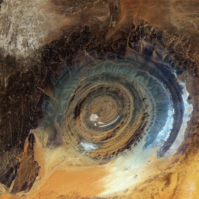
Richat Structure
Place in Mauritania
Rate
Save
Go to page
Save